Projects
Burbank Outdoor Living
With their ability to capture data from above, drones are able to perform land surveys, photogrammetry, 3D mapping.
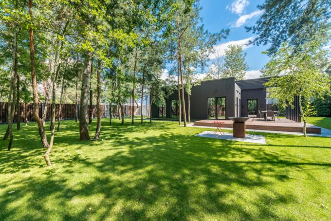
Wooded Denver Terraces
The Community Charter defines highways to include streets, roads, lanes, bridges, viaducts and any other way open to public use.

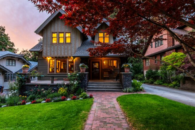
Bailey Backyard Retreat
The external building finishes comprises of Branco Real natural stone, energy efficient curtain wall.
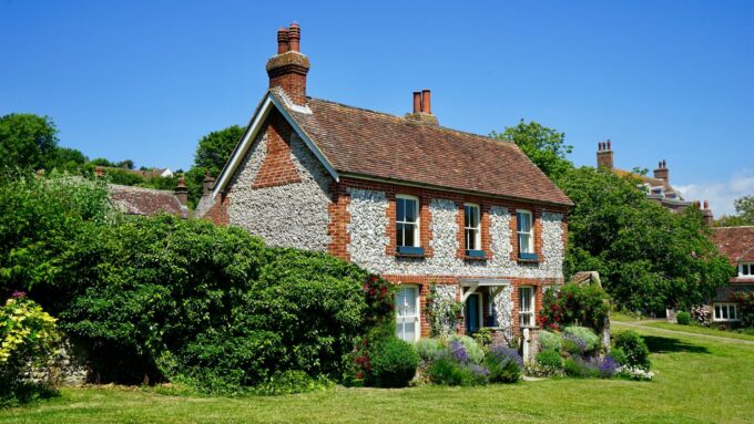
Villanova Residence
The foundation block of a cadastre is the cadastral plan (or survey plan). This is produced by a registered surveyor who measures each property.